


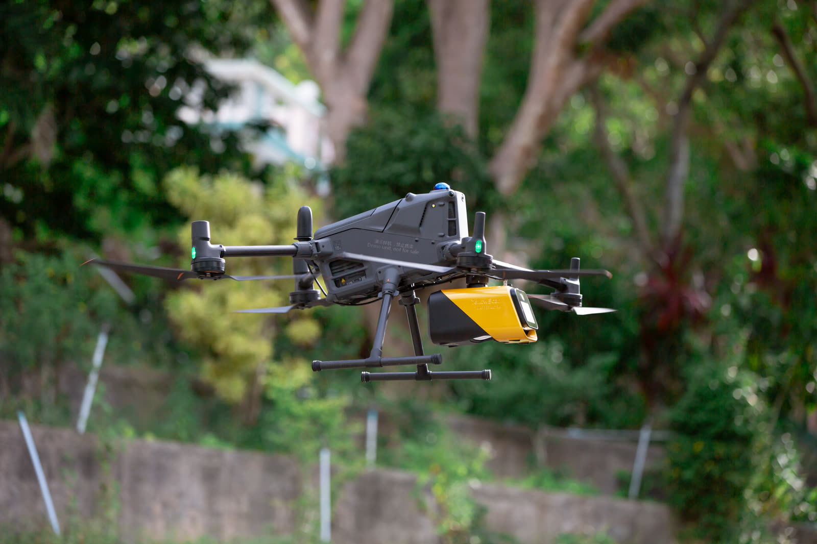


Matrice 400 with
YellowScan Mapper Ultra
A LiDAR scanner that makes the unseen in your drone mapping
visible — with point clouds
Visions from the SKY
One partner, from choosing a drone to delivering results
Thai Sky Vision doesn't just sell drones. As a Drone Service Provider we cover equipment, solutions and services, backed by pilots and survey engineers who work in the field every day.
 01
Drones & Equipment
The full DJI Enterprise range plus LiDAR, GNSS, cameras and software from leading brands. Book a demo and try before you buy.
View products →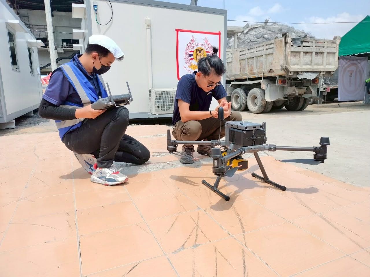 02
Tailored Solutions
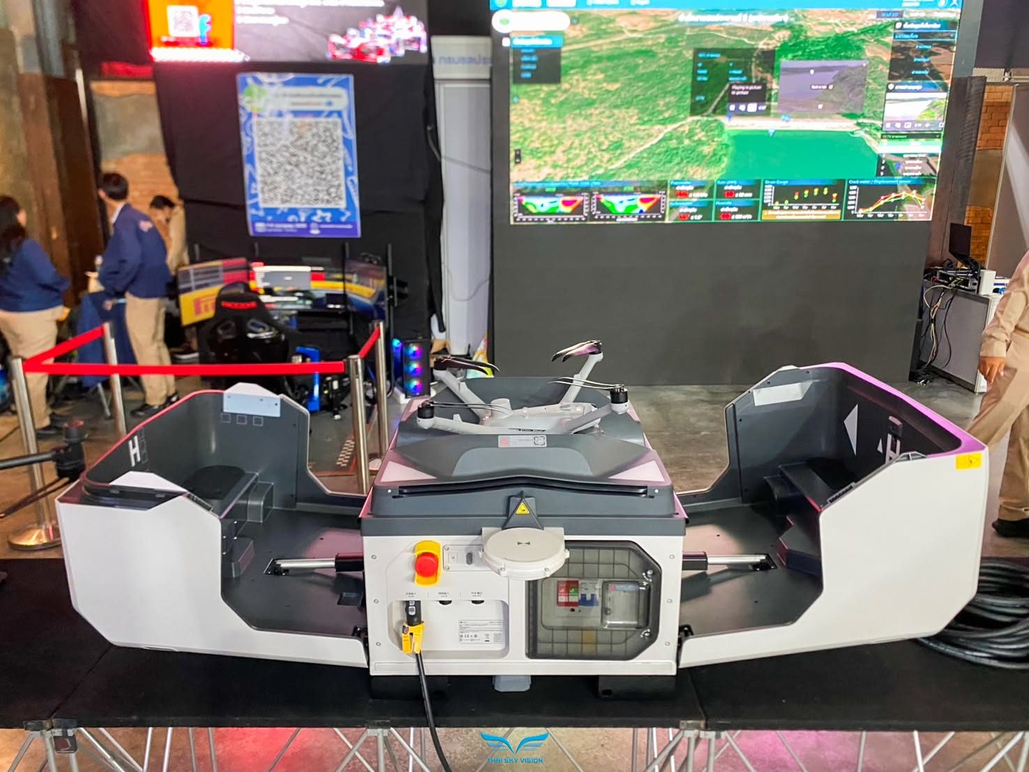
Drone, sensor and software packages matched to the job: surveying, LiDAR mapping, inspection, public safety and automated DJI Dock operations.
View solutions →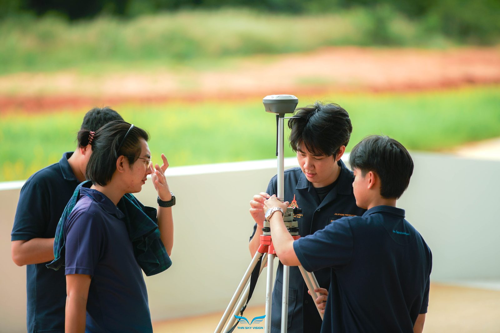 03
Services & Training
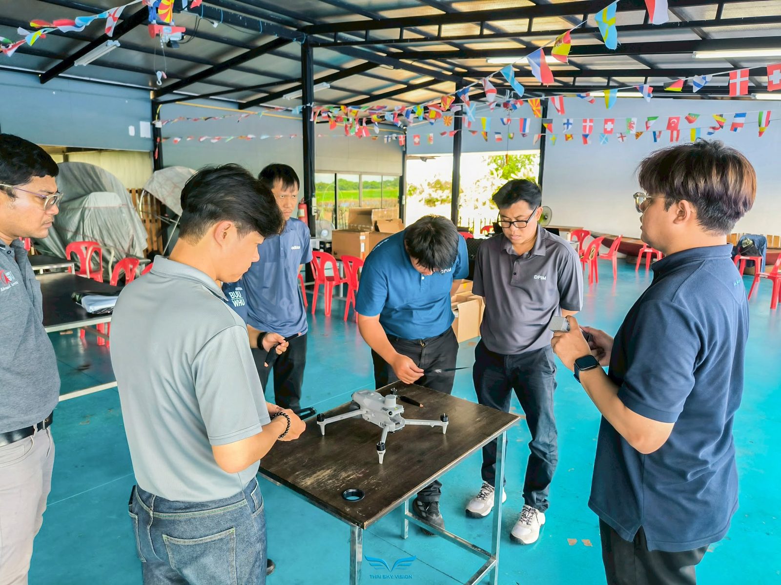
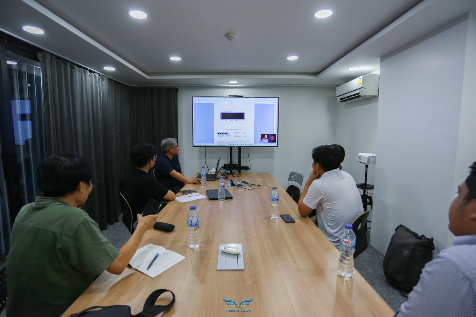
Survey and mapping flight services, pilot and software training, hands-on delivery, and ongoing after-sales support from our expert team.
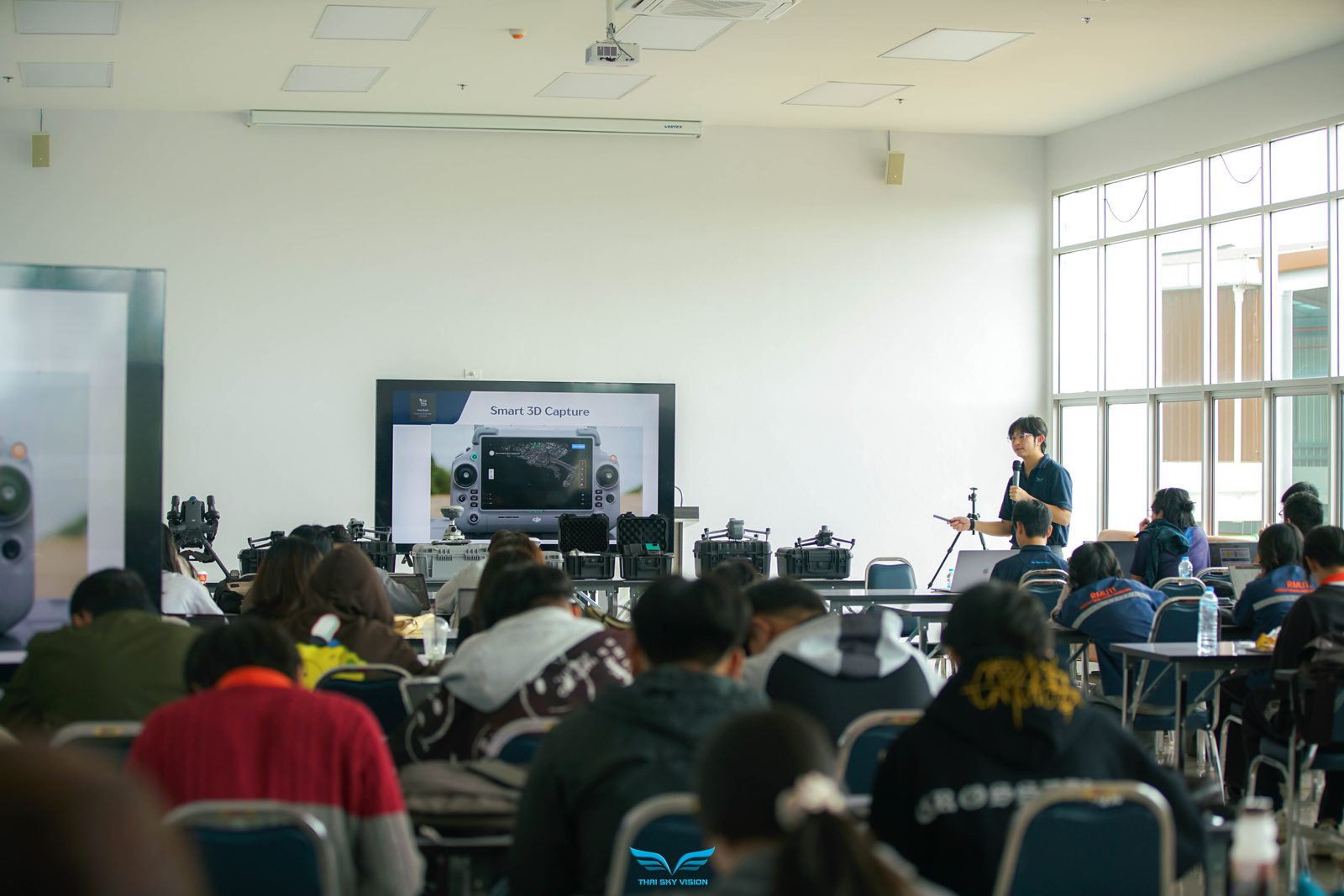
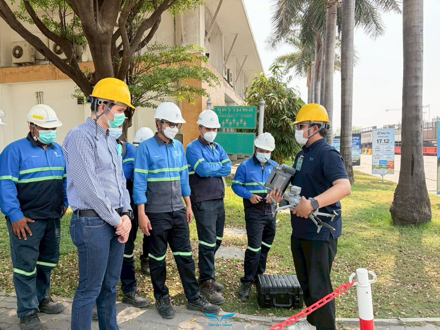
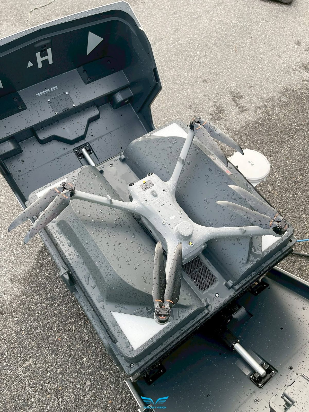
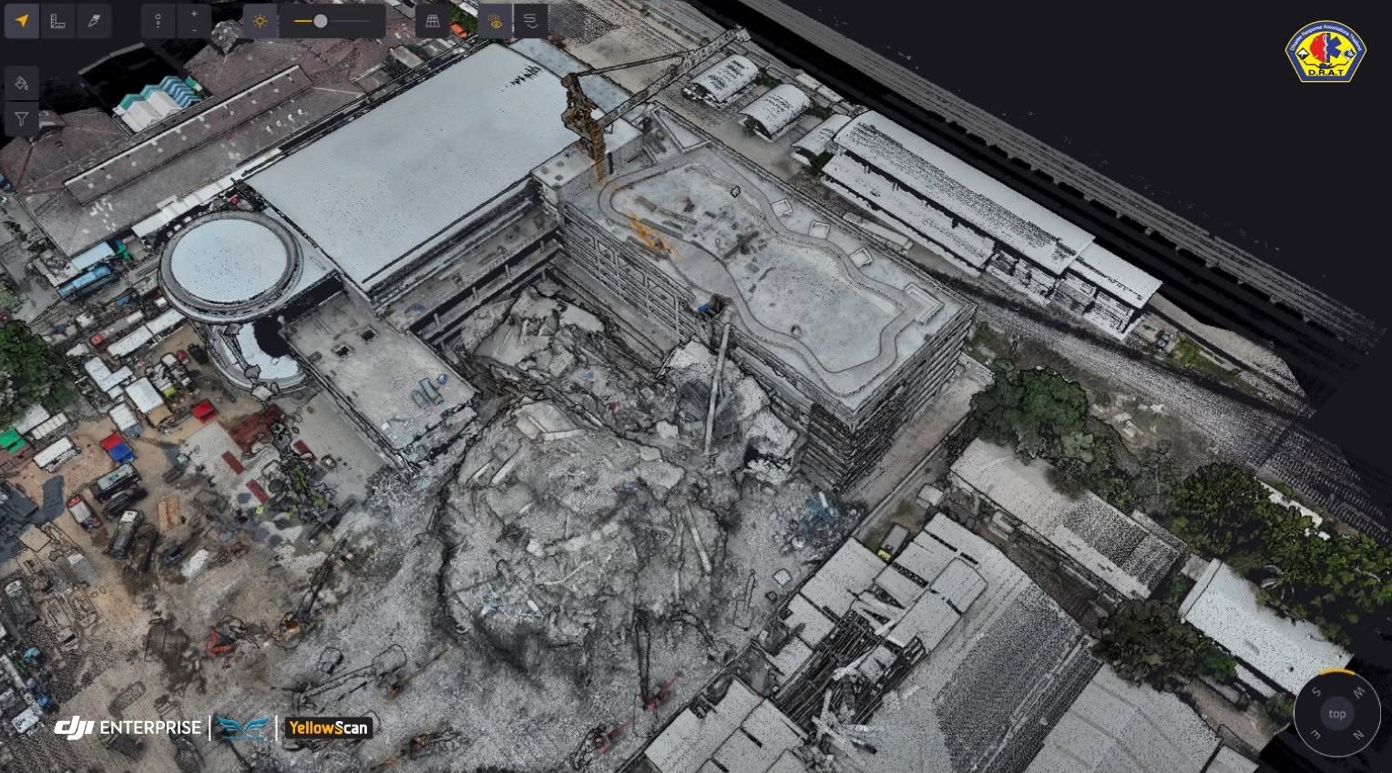
View services →From real job sites and training sessions
ABOUT US
Thai Sky Vision serves the world of unmanned aerial systems (UAS) with products and services in the fields of aerial inspection and mapping, agriculture, and cinematography.
Thai Sky Vision continuously presents new products of advanced unmanned aerial technologies and equipment to its customers and guides them on how to use them easier and more reliably. To that end, the Thai team, consisting of highly experienced operators, constantly tests its product portfolio in real, and sometimes even harsh, situations.
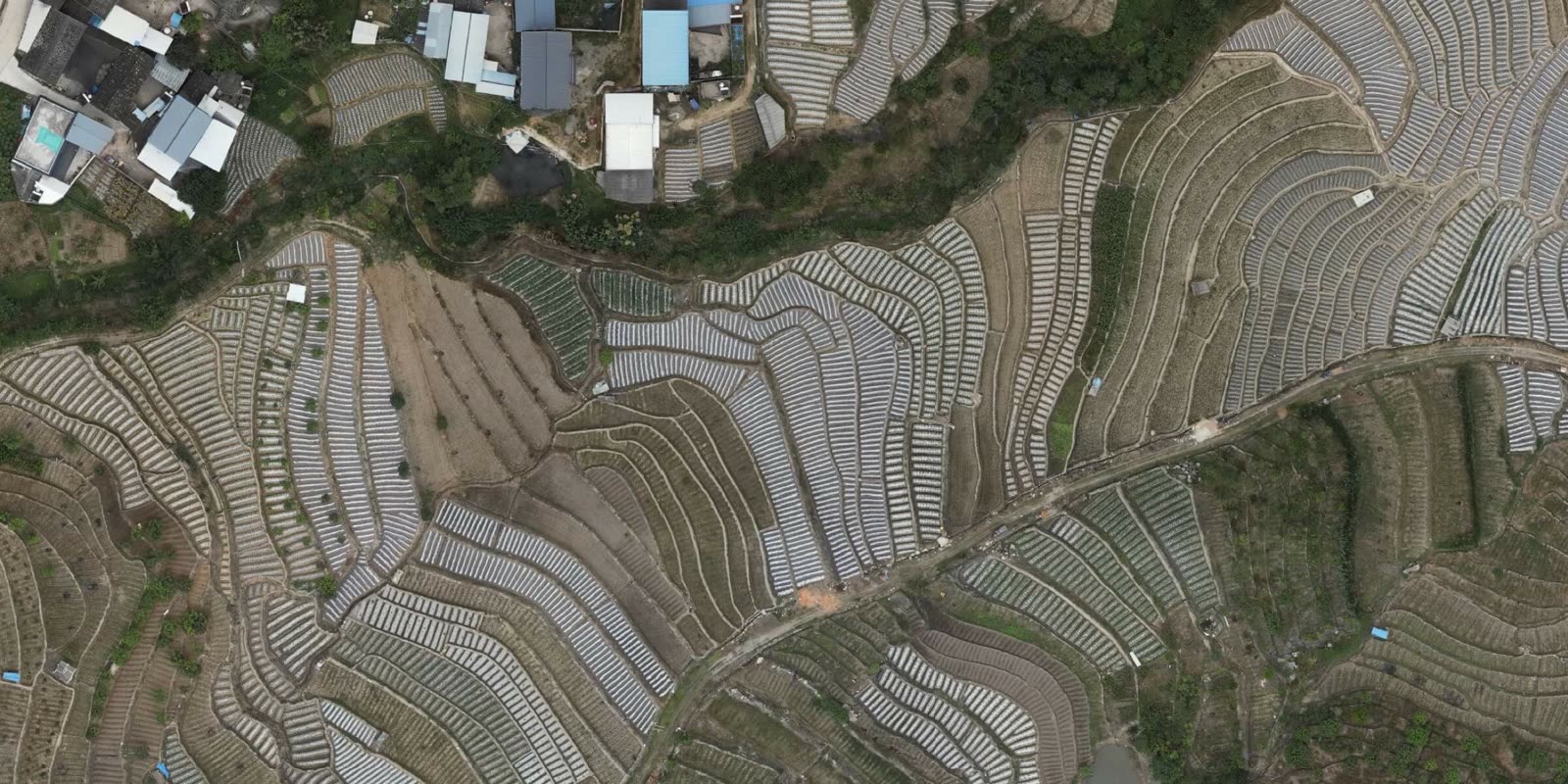
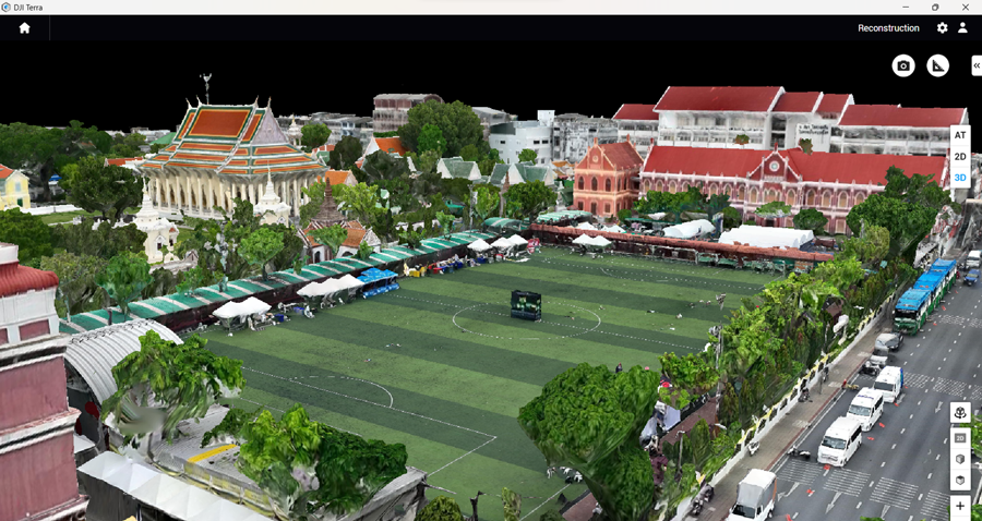
From topographic surveying and engineering inspection to security patrol and search-and-rescue, we have the UAV pilots, survey engineers and up-to-date technology to deliver the most accurate results.
Learn More





Latest Updates
 DJI
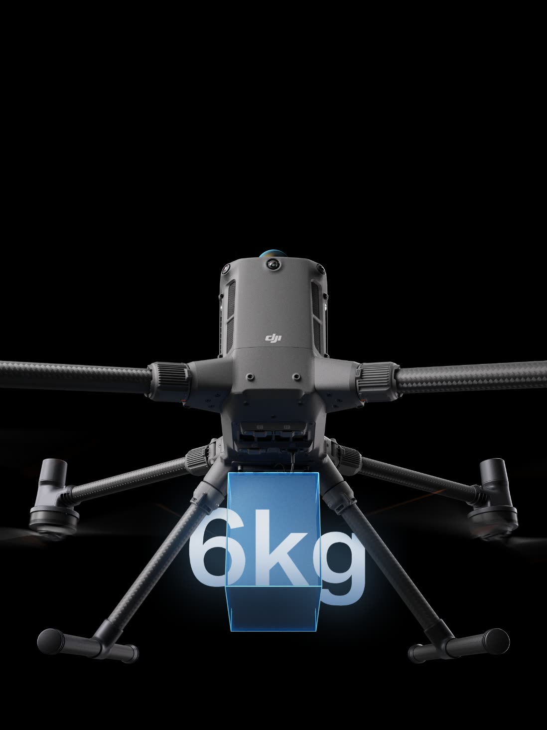
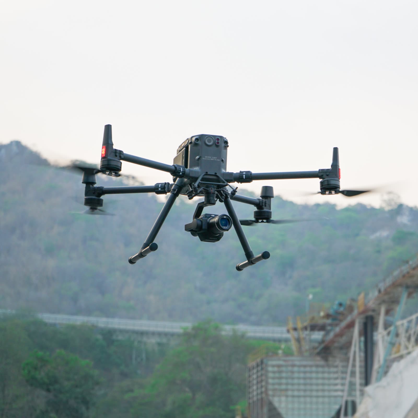
Matrice 400
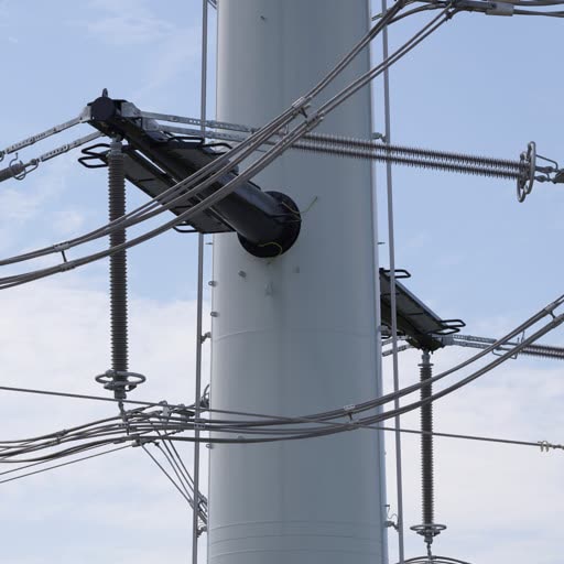
The DJI Matrice 400 is DJI's enterprise flagship, built for versatile, heavy-duty missions. It flies up to 59 minutes, carries payloads up to 6 kg, and has a built-in rotating LiDAR and mmWave radar that detect obstacles as thin as high-voltage power lines.
Learn More →YELLOWSCANMapper Ultra
YellowScan Mapper Ultra is a high-performance LiDAR system for long-range aerial surveying. Designed for high-altitude flights, it covers large areas in a single flight, and its Multi-Echo technology with 7 returns penetrates forest canopy for clean data — ideal for corridor mapping and forested, mountainous terrain.
Learn More →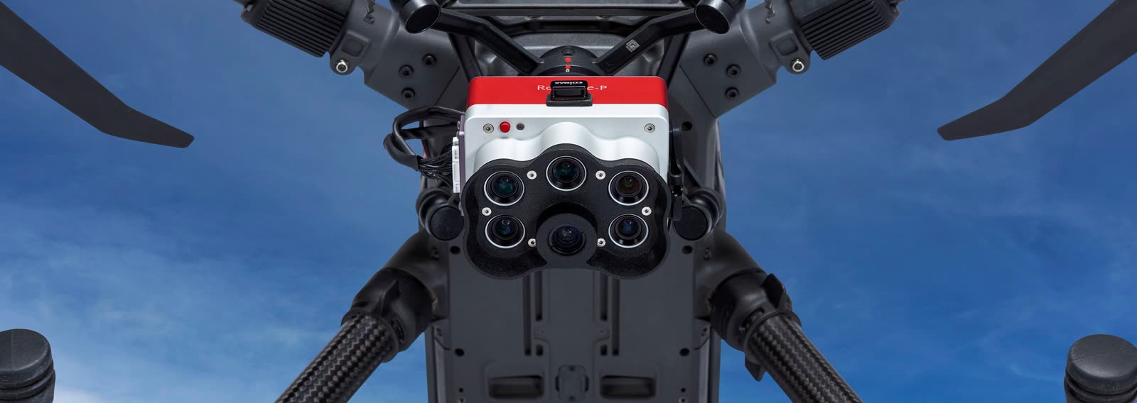 MICASENSE
RedEdge-P
RedEdge-P is purpose-built around industry-leading sensors with narrow-band, high-quality filters, and each unit goes through rigorous factory calibration for accurate values — a robust tool for multispectral data you can trust.
Learn More →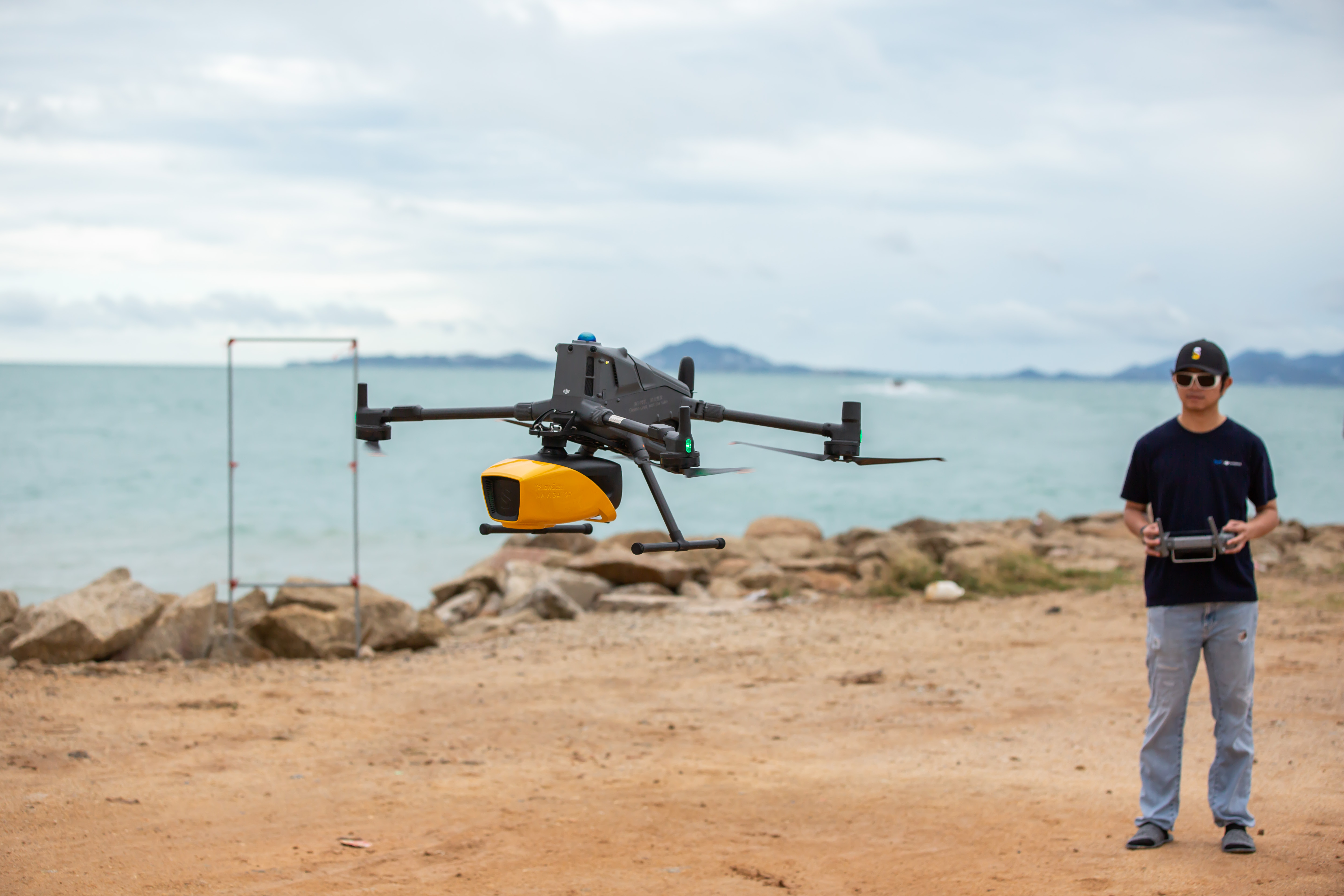

Frequently Asked Questions
What is Thai Sky Vision?
Thai Sky Vision Co., Ltd. is a full-service provider and distributor of enterprise unmanned aerial (drone) solutions. We cover surveying, 2D/3D mapping, drone inspection and agriculture, with both hardware and software plus an experienced team of pilots and survey engineers who deliver the most accurate results for our clients.
How much experience does Thai Sky Vision have?
We have more than 13 years of experience with unmanned aerial systems — drone mapping, topographic surveying, engineering inspection, patrol and search-and-rescue.
Is Thai Sky Vision an official DJI Enterprise dealer?
Yes. Thai Sky Vision is an authorized DJI Enterprise dealer, supplying drones, sensors, payloads and complete enterprise solutions, with pre- and after-sales support from our specialists.
How can I contact Thai Sky Vision?
Call 02-819-1486, LINE Official: @thaiskyvision, Facebook: ThaiSkyVision, or visit www.thaiskyvision.com.
Where are Thai Sky Vision's offices?
We have 3 locations: (1) Thai Sky Vision – Sales & Service Center (2) Thai Sky Vision – HQ & Business Center (3) Thai Sky Vision – Warehouse & UAV Factory
What services does Thai Sky Vision offer?
Four core service groups: (1) Drone Survey & Mapping (2) Drone Inspection (3) 2D/3D mapping and GIS (Drone for GIS) (4) Agricultural survey solutions (Drone Multispectral)
What products does Thai Sky Vision sell?
The full DJI Enterprise range of drones, sensors and payloads, plus tailored enterprise solutions such as EFIX GNSS receivers, survey-grade LiDAR from YellowScan, tethered drone systems from Elistair, oblique cameras from Riebo, multispectral cameras from MicaSense, and survey software such as Pix4D and SenseHawk.
What is LiDAR, and does Thai Sky Vision offer LiDAR?
LiDAR (Light Detection and Ranging) measures distance with laser light to build high-resolution 3D point clouds — ideal for vegetated areas, corridors and high-accuracy work. We offer complete LiDAR solutions, including the Zenmuse L3 (for the Matrice 400) and survey-grade LiDAR from YellowScan, as well as LiDAR drone survey services.
How much do drones and services cost? How do I get a quote?
Pricing depends on the drone, payload and project scope. Contact our team at 02-819-1486 or LINE @thaiskyvision and we will assess your needs and propose the right solution.
Do you provide after-sales service and warranty?
Yes. Our support and sales teams answer your questions for a full year after purchase. If a product has an issue, send it to us and we will coordinate the repair with DJI. Warranty terms follow DJI's or the respective manufacturer's conditions.
Contact Us
Address
160/546,547, 24th Floor, ITF Silom Palace, Silom Road, Suriya Wong, Bang Rak, Bangkok 10500 (Head Quarter)
94/14 Moo 4, Suksawad Rd., Phrapradaeng, Samut Prakarn 10130 (Showroom & Service Center)
Contact
Tel. +662 819 1486
Mobile: +668 8585 2801
info@thaiskyvision.com
LINE: @thaiskyvision
Opening Hours
Mon – Fri
8:30 am – 5:30 pm
Saturday
8:30 am – 5:30 pm